C-Map
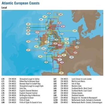
MAX Local Charts - L20 Falmouth to Lundy Island
In order for us to supply you with the correct card format, please specify your chartplotter in the special instructions at checkout. When it comes to MAX, there's no comparison. Advanced features make cruising, sailing and fishing easier, safer and more fun.
Part number: NE4670M017
C-Map MAX Local Charts - L20 Falmouth to Lundy Island
In order for us to supply you with the correct card format, please specify your chartplotter in the special instructions at checkout. When it comes to MAX, there's no comparison. Advanced features make cruising, sailing and fishing easier, safer and more fun. Bring your electronic charts to life with MAX, the ultimate navigator. See NavAids on your screen exactly as they appear through your pilothouse window. Get "at-a-glimpse" information about the strength and direction of currents. Youll even be able to view an aerial photograph of an unfamiliar inlet before you enter. Access unparalleled levels of chart accuracy and detail, striking presentation and a huge collection of new value-added data. Jeppesen have built on the incredible success C-Map NT and given you access to lightning fast, knockout performance plus real-life accuracy and detail.
Compare prices
About

|
MAX Local Charts - L20 Falmouth to Lundy Island
New · Out of stock |
£173.41 Incl. VAT |
Visit site |
|---|
